Yellowstone scientist compares park heat maps to soccer tracking
via NonStop Local Montana
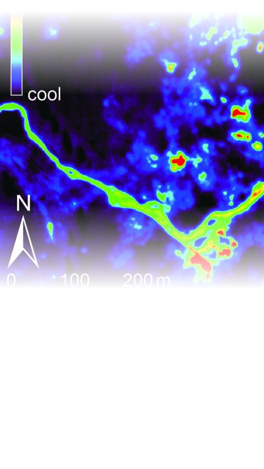
Researchers at Yellowstone National Park are applying location-tracking technology similar to that used in professional sports to map and analyze geothermal heat patterns across the region.
A scientist with the Yellowstone Volcano Observatory is using heat maps to track geothermal changes in the park, comparing the technology to the data maps used to monitor player movement in soccer. Researchers at the USGS use satellites and drones to watch for shifting surface temperatures at spots like the Norris Geyser Basin, which can signal underground activity like earthquake swarms or gas movement. This monitoring helps locals and experts identify unusual behavior early, such as the hydrothermal explosions that recently occurred at Biscuit Basin.